By Linus Aleke, Abuja
Federal Government (FG), has evolved strategy to deepen the understanding of key policymakers on geospatial data production and utilization, as well as strengthen the policy framework for synergy and collaboration with relevant stakeholders in the GIS Ecosystem.
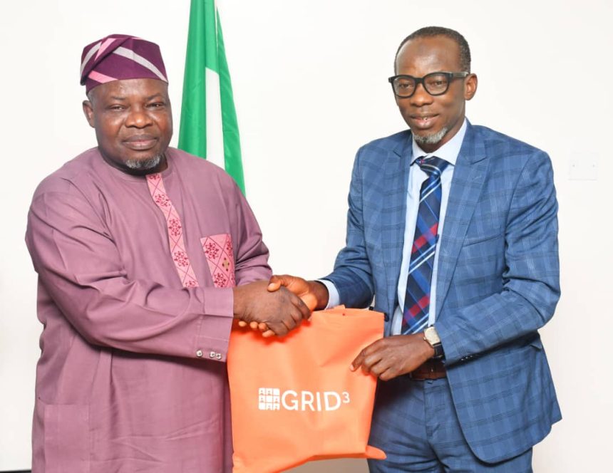
Head of Press and Public Relations, OSGoF, Mr. Abu Michael, in a statement said this is contained in a letter of invitation addressed to the Surveyor General of the Federation (SGoF), Surv. Abuduganiyu Adeyemi Adebomehin, on the Georeference Infrastructure and Demographic Data for Development (GRID3) Programme quiz competition organized by the Ministry of Budget and Economic Planning.
This is as the Office of the Surveyor General of the Federation (OSGoF), emerged first in the quiz competition.
Mr. Abu noted that the invitation which was signed by the Director, National Monitoring and Evaluation, Olasumbo Ayinde-Yakub on behalf of the Minister noted that the roundtable was to also identify priority use cases for geospatial data in line with the Renewed Hope Agenda.
He disclosed that OSGoF was represented by its Head of Department for Photogrammetry and Remote-Sensing, Surv. Afeez Azeez who competed with representatives of critical MDAs and organizations involve in the use of Geospatial Information System (GIS) including the Military, the Police and Paramilitary agencies that make up the GIS Ecosystem in the country.
“The competition was sequel to the Geospatial Ecosystem Roundtable meeting on geospatial data production and utilization in Nigeria in line with the Renewed Hope Agenda of Mr. President hosted by the Honourable Minister of the Ministry of Budget and Economic Planning, Senator Abubakar Atiku Bagudu,” the statement concluded.


